


10.7 km | 15.5 km-effort


Optez pour le retour à la nature GUIDE+


FREE GPS app for hiking
 SityTrail
IGN / Geographical institutes
SityTrail World
The world is yours!
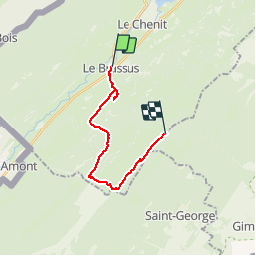
Trail Walking of 14.9 km to be discovered at Vaud, District du Jura-Nord vaudois, Le Chenit. This trail is proposed by My Switzerland.
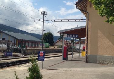
Startort: Le Brassus, Vallée de Joux
Erreichbarkeit Startort: Bahn Vallorbe/Le Pont - Le Brassus
Zielort: Col du Marchairuz
Erreichbarkeit Zielort: Rückreise Postauto Col du Marchairuz - Le Brassus oder Nyon (nur am Wochenende zwischen Juni und Oktober)
Wanderzeit: 04:30 h
Kondition: mittel
Schwierigkeit: mittel
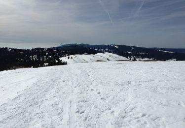
Höchster Punkt: 1494 m
Jahreszeit: Juni - Oktober
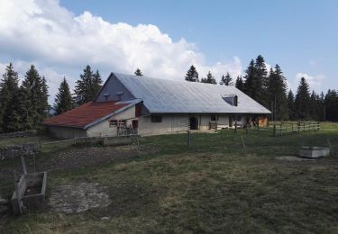
Verpflegung: Restaurants in Le Brassus
Übernachtung: Hôtel du Marchairuz auf dem Pass
Literatur: Wanderkarte 1:50''000, Blatt 260 T, St-Cergue. Landeskarte der Schweiz 1:25''000, Blatt 1241 "Le Marchairuz"
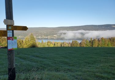
Die Wanderung von Le Brassus über die Crête de La Neuve zum Col du Marchairuz führt durch parkähnliche, einsame Juraweiden und durch lichten Bergwald zu einem Aussichtspunkt mit Sicht in die Alpen. Es lohnt, dieses Stücklein unbekannte Schweiz neu zu entdecken!
Besonderes Erlebnis: Maison du Parc Jurassien, Le Marchairuz; Käsefabrikation auf der Alp Le Cerney an der Wanderroute. Dampfbahn Le Brassus - Le Pont (Juni - Sept.).

Snowshoes
Walking
Snowshoes
Walking
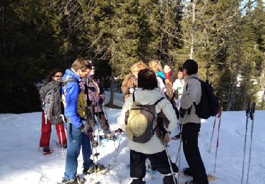
Snowshoes

Walking
Walking
Walking
Walking